The problem came from a need
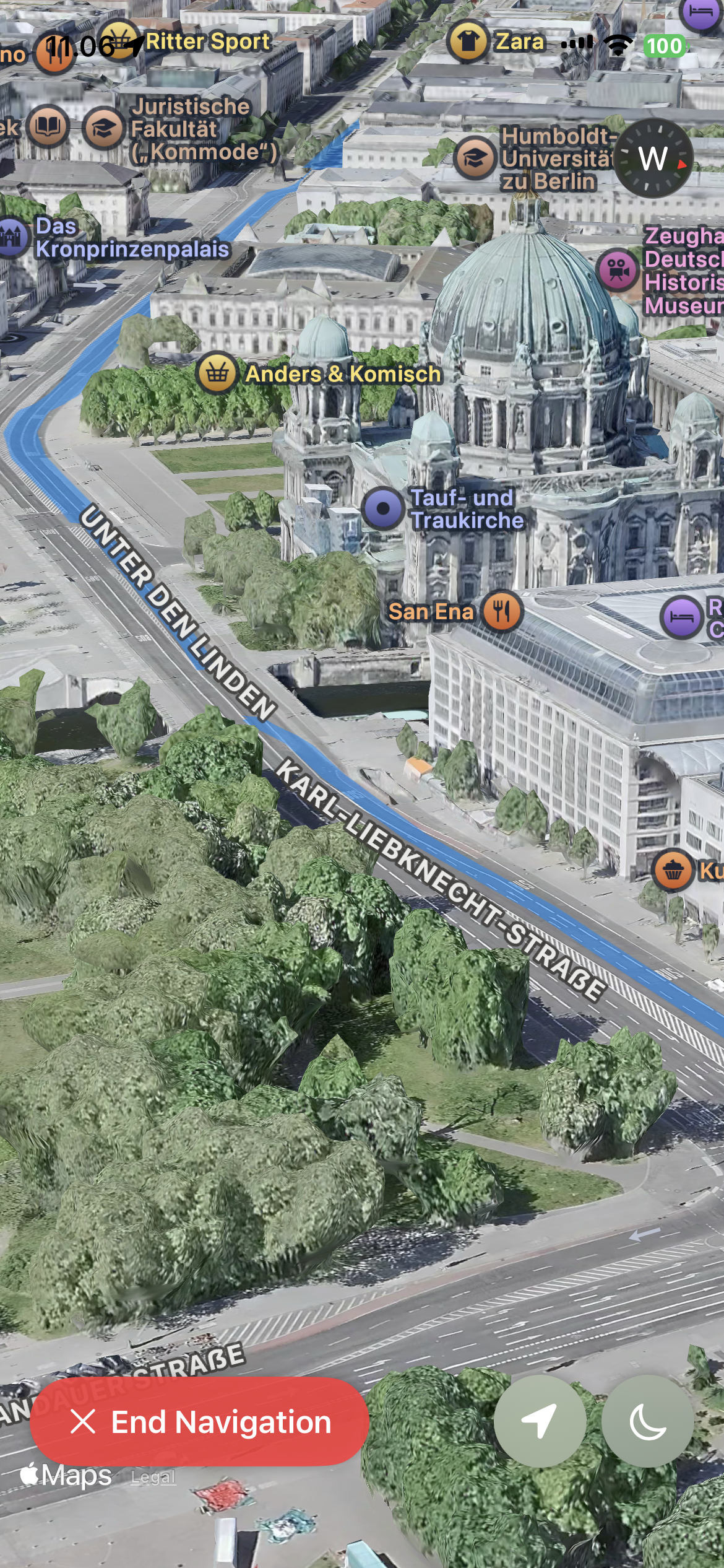
Apple Maps disables 3D flyover view during navigation, but this is exactly what I wanted to cycle in the city. Streets, placemarks, building heights, junctions, all visible in that view. So I tried to build a small iOS app that uses 3D flyover specifically for navigation. I used Claude code together with my own design ideas.
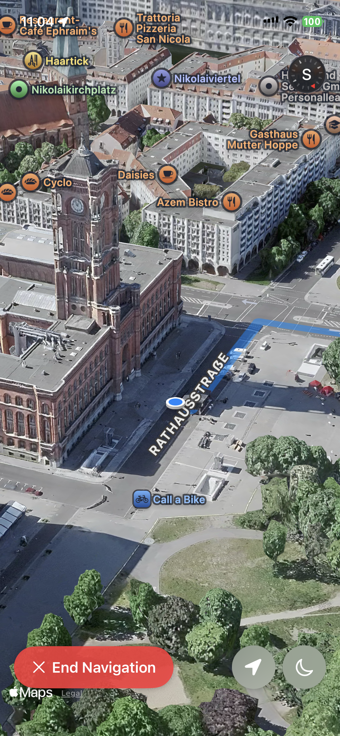
Navigating in flyover view. buildings and streets in 3D, the route on top.
Built to have what I wished existed
The UX was tuned for how I wanted it to loook. Allowing searching for destinations and having high-contrast cues, and clear route lines. It worked best in cities with rich map data and reasonably low buildings Here is an example of how this would look like in Berlin.
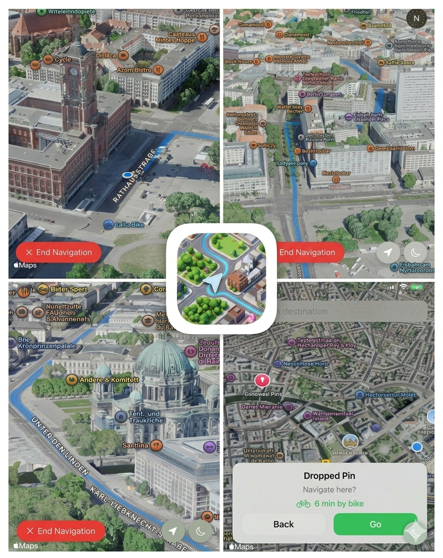
A view showing all screenshots and the icon of the app in the middle. This had both light and dark versions.
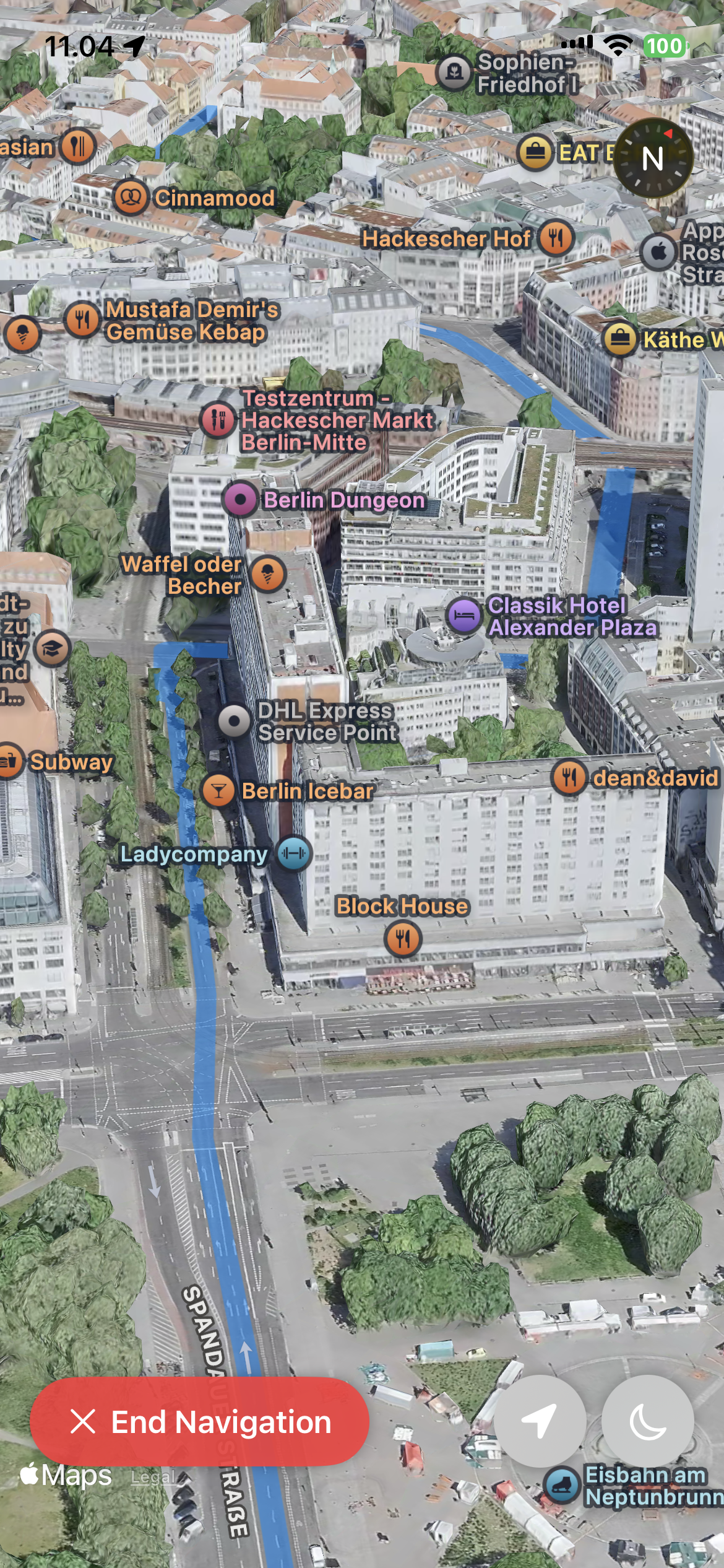
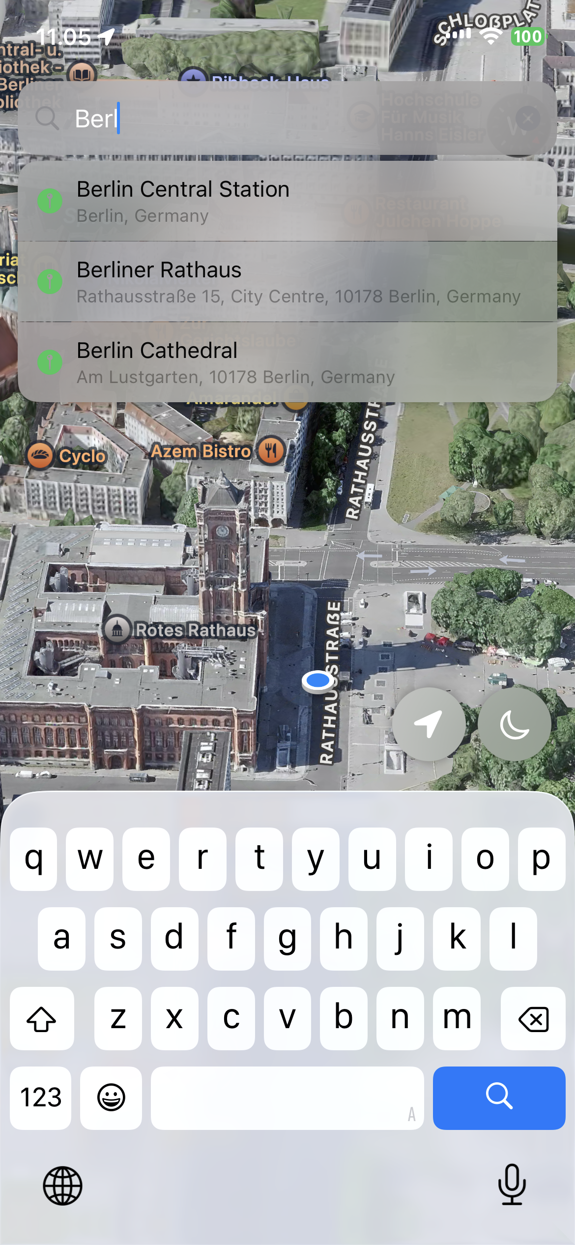
Personal project. iOS, Swift.